


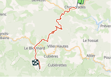


20 km | 28 km-effort

User


FREE GPS app for hiking
 SityTrail
IGN / Geographical institutes
SityTrail World
The world is yours!
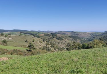
Trail Walking of 25 km to be discovered at Occitania, Lozère, Mont Lozère et Goulet. This trail is proposed by kephas.
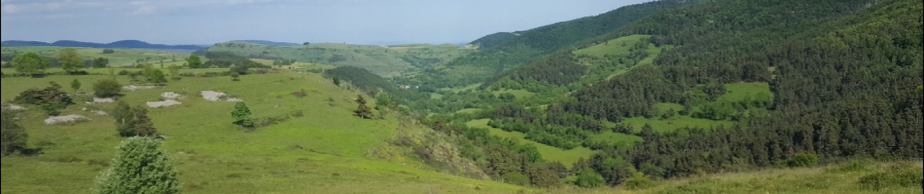
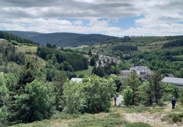
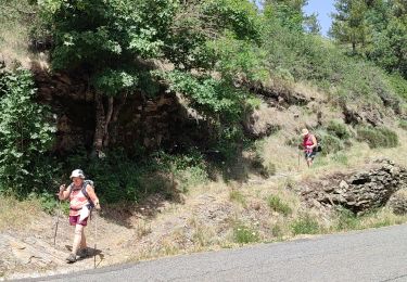
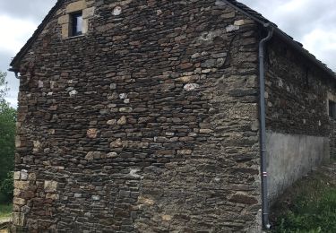
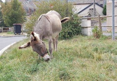
Belle étape avec un détour aux sources du Lot.
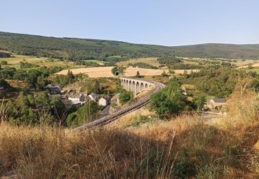
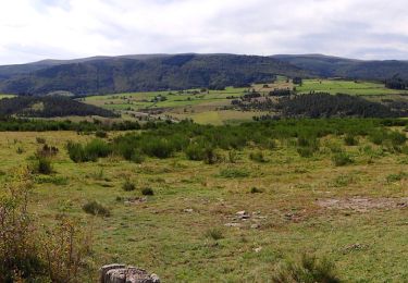
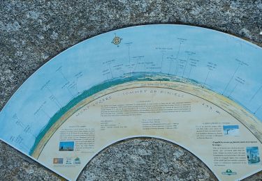
La fin amorce l'ascension du Mont Finiels pour se réserver du temps le lendemain


Walking
Walking
Walking
Walking
Mountain bike
Walking

Walking
Horseback riding
Walking